
Find an Allegheny County Street
The public route for an Allegheny County street begins with the Real Estate Portal, which is keyed to an address or parcel rather than an owner-name browse. It can identify the assessment owner associated with each matching property, not a complete list of people at the address. Work from a known street and preserve the municipality and Block/Lot with every result. Those identifiers keep nearby streets with similar names and changing address formats from being merged by mistake.
- Open the Allegheny County Real Estate Portal and enter the street name without its suffix. Add a house number and municipality when known to narrow the address results.
- Record the returned owner name, street address, Block/Lot, and municipality. Treat the name as an assessed ownership record, not evidence of present occupancy.
- Use the Block/Lot or parcel identifier in the full GIS viewer to place the property on its block, review surrounding parcels, and confirm the situs municipality.
- Search the current transfer in the official land-record index by party, legal description, subdivision, document number, or recorded date. A grantor is the party transferring property; a grantee is the party receiving it.
- For a past address, pair the dated deed trail with the relevant historic directory edition and Hopkins map. Each source must be read for its own date and jurisdiction.
That chain is street-by-street research, not a roster. Pennsylvania's self-service voter-status tool is designed for a voter to check their own status, and it is not a public way to browse a road or block.
Allegheny County Address Search Fields
The county help instructions make the Street Name field the key to a useful street search. Enter the name without Street, Road, Drive, Circle, or another suffix. The portal treats it as a partial name and adds an end wildcard. House Number and Municipality are optional limiters, especially helpful when a name occurs in more than one local jurisdiction.
| Portal field | Input | Required | County search behavior |
|---|---|---|---|
| Search mode | Tab | Yes | Address or Parcel Number / Block-Lot. |
| House Number | Text | No | Narrows a street-name query. |
| Street Name | Text | Yes | Use a partial name without a suffix; the county applies an end wildcard. |
| Municipality | Select | No | Leave blank if unknown, or select it to reduce unrelated results. |
| Parcel Number / Block-Lot | Text | No | Partial entry is accepted and omitted leading zeroes are supplied. |
[INSIDER TIP] A broad street result can be controlled without changing the spelling: add the municipality first, then the house number. The county displays up to 100 matches at a time and provides First, Previous, Next, and Last controls when more results exist.
Read Allegheny County Street Results
Address results show Owner Name, Street Address, Block/Lot, and Municipality. The Block/Lot is the link between an address result and a property record. On a parcel card, the county may also display owner history, building and tax information, maps, comparables, and appeal status. The assessment system itself cautions that it does not hold a complete sale history for every property or sale, so a sale field is a lead for the land-record index rather than the end of the search.
Do not equate an assessment owner with every person connected to the property. A parcel card describes an assessment relationship. It may contain a separately labeled owner mailing address, which can be an organization, estate, P.O. box, or another address. It still does not establish who is currently present at the physical location.
Note: The county's map within the assessment portal is a subject-parcel reference image, not a survey product or a map for browsing nearby properties.
Allegheny County Street Record Coverage
Each address-keyed source answers a narrower question. Use the assessment result to identify the parcel, the GIS viewer for its spatial setting, and recorded documents for a transfer history. Local permit or code files are held by the municipality that created them, so the parcel's municipality matters before a request is made.
| Street record | County or local keeper | What it can show | Access boundary |
|---|---|---|---|
| Assessment/property record | Allegheny County Real Estate Portal | Assessed owner, situs address, Block/Lot, municipality | Address or parcel search, with no public current owner-name tab. |
| Parcel layer | Allegheny County GIS | Parcel geometry, nearby parcels, PIN or Map Block/Lot | Public mapping context; the public layer has no owner fields. |
| Recorded deed index | Department of Real Estate | Grantor, grantee, dates, document data, property location | Index search is free; image and older-record access varies by record type. |
| Municipal permit or code file | Situs municipality | Address-specific work or case chronology | Local retention and access rules apply; request a known address and date span. |
| Historic directory and map | Libraries and archives | Dated listed address, occupation, lot, ward, or owner label | Edition-specific, with coverage gaps and no present-day conclusion. |
The county maintains the shared address data, but cities, boroughs, and townships assign or correct addresses. A postal city label is not proof that the City of Pittsburgh created a permit or has the relevant local file.
When a municipality created the record, name the street number, municipality, approximate date span, and requested record type. The county parcel map helps identify the proper route, but it does not shift custody of a local permit, inspection, or code file to the county. A focused request for an existing address record is more reliable than a broad request for everything connected with a street.
Map Allegheny County Street Parcels
The full Allegheny County GIS Viewer supplies the spatial part of a street directory search. It supports address search, parcel display, layers, measuring, printable maps, pan and zoom, plus basemap changes. Begin at the address, leave the parcel layer visible, then click the parcel and move the PIN or Block/Lot back to the assessment portal. Its public parcel layer supplies geometry and identifiers, not owner names.
The County GIS page documents the mapping tools used to place a street result in context.
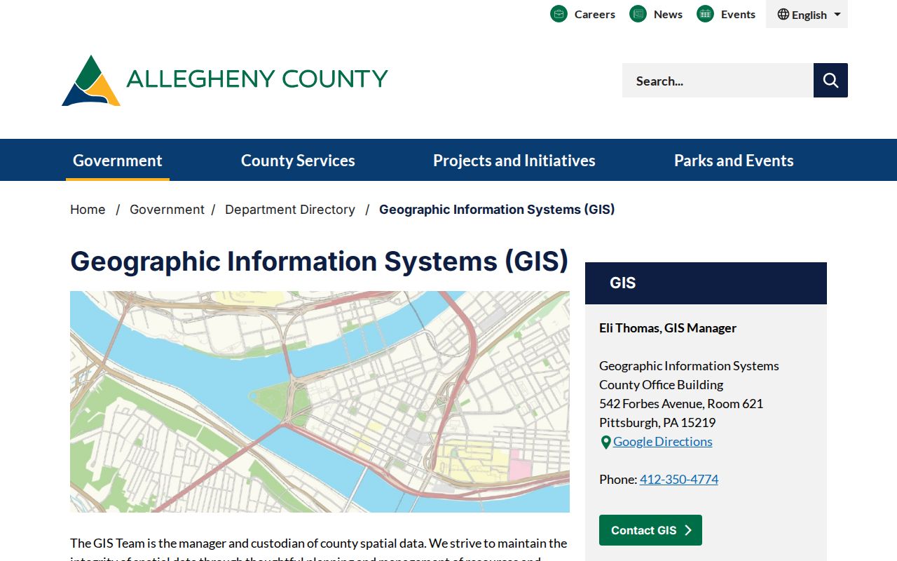
Use the full viewer for a block or corridor. The embedded assessment map cannot pan, zoom, or run a new query, so it is not the right tool for comparing parcels along a street.
The GIS office also offers a real-estate data CD for $50, described as address, ownership, characteristics, and tax information with quarterly updates. That product is a record-access channel, distinct from the free viewer. It does not replace checking a current property card or recorded document. Retain the data date, identify the parcel, and do not treat an ownership field as a present-person claim.
[COMPARISON] The free full GIS viewer is for exploring parcel geometry and a block's layout. The assessment portal's embedded map is limited to a reference view of the subject parcel and is not survey accurate.
Trace Allegheny County Street Deeds
After the parcel is anchored, use the Department of Real Estate land-record portal to test the recorded transfer. Name Search includes Office, Business/Last Name, First Name, Name Type, party role, and filed-date fields. Its tabs also include Document Search, Volume Search, Block & Lot Maps Search, Historical Cards Search, Historical Plat Maps Search, and Parcel ID Search. Detail results may identify parties, filing date, document type and number, book or volume and page, property location, Block/Lot, grantor, and grantee.
The county's land-record Quick Search shows the scope decision before a search runs.
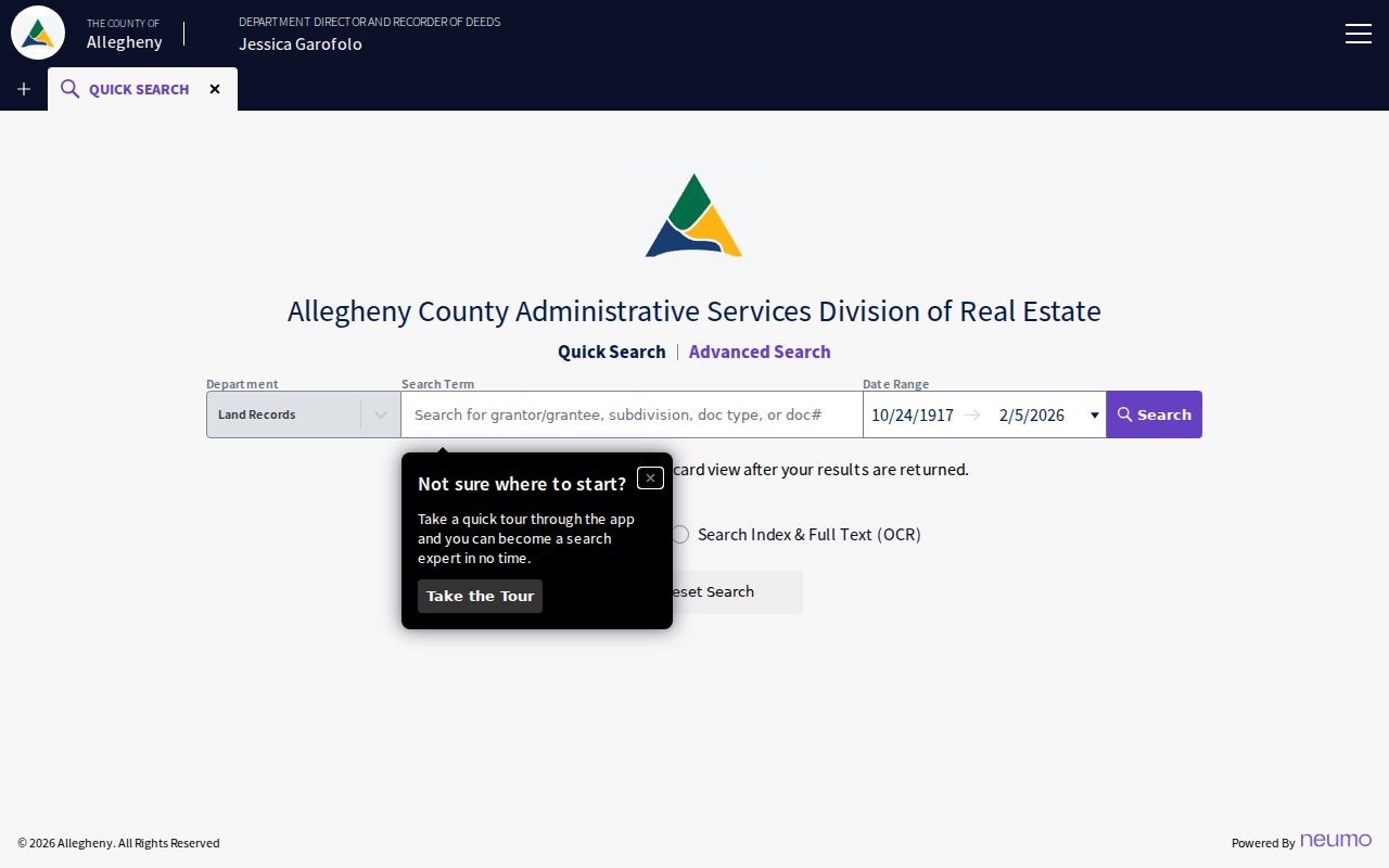
Use Index Only for broad party or name components. Index & Full Text (OCR) treats two or more words as a phrase, so it is better reserved for a distinctive phrase or document wording. An OCR hit needs confirmation in the index or record detail.
The documented online coverage is not uniform across every series. The portal identifies document indexes from 1986 forward, imaged deeds from 1976 forward, subdivision plans for all years, and an oldest online deed book of 3680. For older deed books, use the division's copy or counter route and archival holdings rather than inferring that an online miss ends the title chain.
The property portal reports current tax-year data. Its live notice also says a property taxed by the county for the first time in 2027 will not appear until values are certified in January 2027. For a new address or parcel, a missing entry can be a timing issue that calls for a date check, not a conclusion that no county record exists.
Allegheny County Address Meanings
County records can carry different address labels for the same parcel. Separate them before comparing a street result with a deed or tax record. An owner-name change requires a new deed; it cannot be made through an address-correction process. Physical or owner-mailing corrections take a different county route from tax-bill mailing corrections.
- Parcel
- A defined piece of property identified by a PIN or Block/Lot and used to connect mapping, assessment, and land records.
- Situs address
- The physical property location, meaning where the building or property sits.
- Plat
- A recorded map that depicts lots, blocks, streets, or subdivision layout for a stated time or filing.
- Street guide
- An address-led section in a historic directory that can point to a dated listing when the volume actually includes that feature.
[QUIRK] Allegheny County distinguishes the physical location, owner mailing address, and tax-bill mailing address. A mailing destination is a records-management fact, not proof of current residence.
The County's address-change information sets out those separate address roles and correction routes.
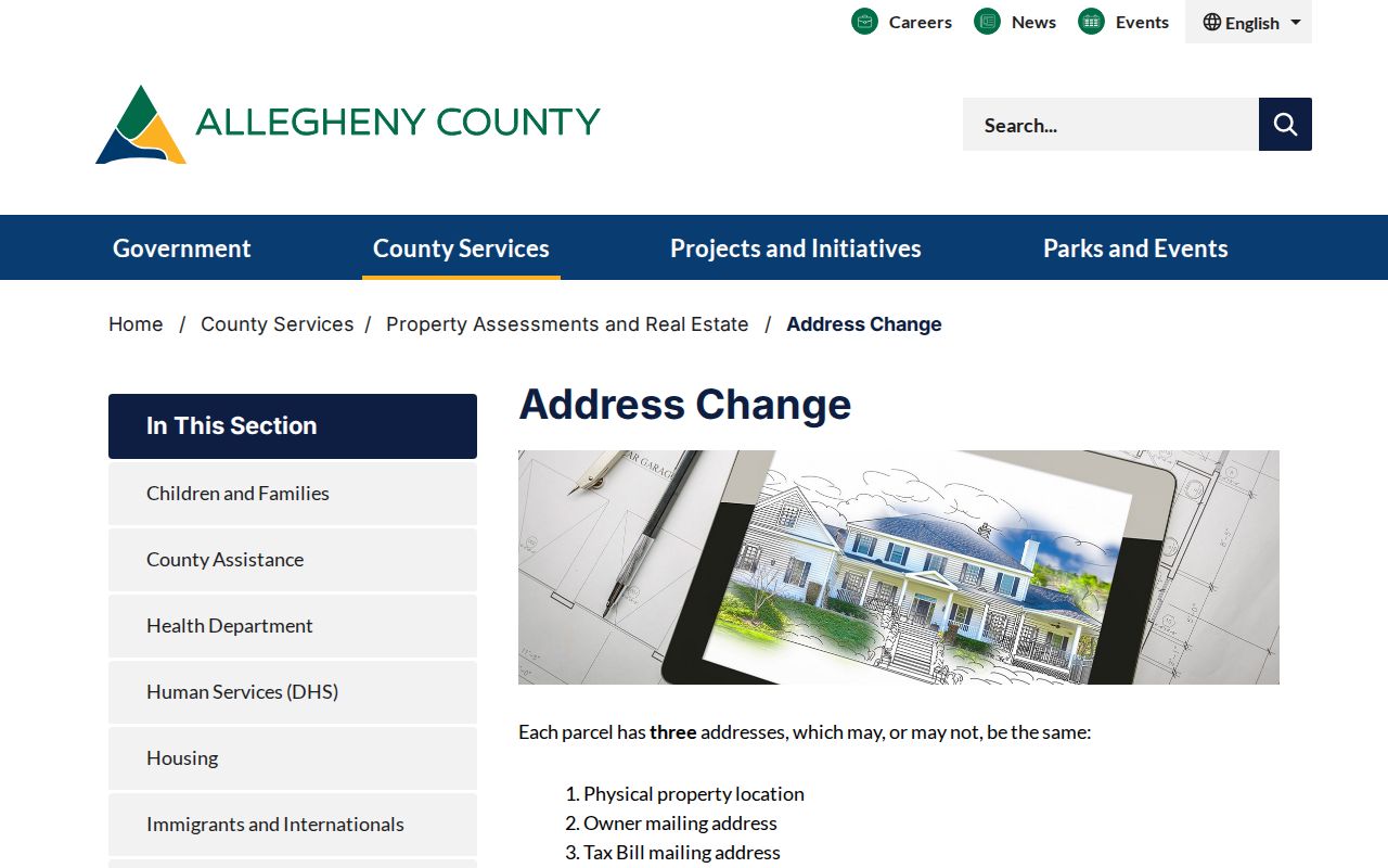
When an address differs across sources, retain the label used by each source and verify the municipality, parcel, and legal description before deciding that the records concern the same property.
Allegheny County Historic Street Guides
A modern address search should not be used to fill a historical gap. Historic Pittsburgh's digitized city directories cover Pittsburgh and Allegheny City editions, with the collection description spanning 1815 to 1945 and its FAQ describing online Pittsburgh directories from 1837 to 1930 with gaps. Carnegie Library of Pittsburgh documents a longer city-directory microfilm run from 1813 to 1975. Match a street result to the edition's date, place name, and stated scope.
Not every directory is a reverse lookup. A Polk street-and-avenue guide is a defensible address-led source where the volume confirms it, but no separate local criss-cross run was verified for every year. Pair the dated entry with a Hopkins property map to check the ward, lot or block, street name, and historic geography.
Allegheny County Street Name Changes
Allegheny County contains Pittsburgh and many separate municipalities. Historic Allegheny City remained separate until Pittsburgh annexed it in 1907, so an older North Side result may use Allegheny City while a current record uses a Pittsburgh neighborhood label. Postal labels, municipal jurisdictions, and historic place names are not interchangeable.
For a spelling variant, old directional form, or renamed segment, consult County Address Management's Street Dictionary, Street Alias, and Segment Alias data before treating two strings as different streets. The municipality controls address assignment and correction, while the county maintains the central dataset shared with county departments and the Postal Service.
Note: Record the street spelling, municipality, and time period together so a correct historical result is not rejected because a current label differs.
Street Privacy Limits
An Allegheny County street search cannot supply a complete resident roster. County assessment records identify assessed ownership, land documents identify recorded parties, and historic directories offer dated listings. DMV address information is restricted, utility and delivery records are not public street sources, and the individual voter-status form is not a browse-by-street directory. Protected-address and other privacy rules can also make information intentionally unavailable.
Lawful use. Use street and address records for personal research, family history, civic curiosity, or confirming a property record. Do not use any result to stalk, harass, threaten, intimidate, or harm another person.