
Allegheny County Block Sources
Public sources around an Allegheny County address have different scopes. The GIS viewer establishes a parcel's place on the block. The Real Estate Portal supplies the assessment result for a selected parcel. A recorded deed adds parties and a date. Historic directories and maps can show a past, edition-specific clue. None of those records proves the present identity of every neighbor.
| Source | What it shows about a block | Access |
|---|---|---|
| Allegheny County GIS Viewer | Address position, mapped parcels, layers, measures, and block context | Public viewer; map context is not a survey conclusion. |
| Real Estate Portal | Assessed owner, street address, Block/Lot, and municipality for a selected parcel | Public address or parcel search; not a full household list. |
| Official Record Search | Recorded transfer parties, document data, and property details | Public index; parties describe a transaction, not a current neighbor list. |
| Formal voter-list procedure | Restricted election-record information under the requested list type | Not the self-status form; statutory and certification limits apply. |
| Historic directories and Hopkins maps | Dated address, listed household-head clue, lot, ward, or historic owner label | Edition and coverage limits; no presumption of continuity. |
| Public civic organization material | Voluntarily published review-area, meeting, agenda, or public contact information | Not a membership roll and not available countywide from one source. |
[MYTH] A neighboring parcel is not the same thing as a neighboring resident. The map can show adjacency, and a property card can name an assessed owner, but ordinary personal privacy and protected records leave many household facts outside this workflow.
Keep a status label with each block fact: GIS geometry viewed on a stated date, assessed owner for a tax year, recorded instrument party and date, or directory entry in a particular edition. That discipline prevents a current parcel card, a historic map label, and a directory result from being blended into one unsupported story about a block.
Map Allegheny County Parcels
The county's GIS viewer is the right starting point for the immediate block. It has address search, parcel display, layer controls, measuring, printable maps, pan and zoom, and basemap changes. Keep the parcel layer active while moving outward from the subject address. The public parcel layer gives geometry and identifiers such as PIN or Map Block/Lot, but it does not contain owner fields.
- Search the subject address in the Allegheny County GIS Viewer and open its parcel context.
- Pan or zoom to the contiguous parcels, click each relevant parcel, and note its PIN or Map Block/Lot along with the geometry shown on the map.
- Enter each identifier in the Real Estate Portal to read the assessed owner, situs address, and municipality for that parcel.
- Use the land-record portal only to understand a recorded transfer, retaining the party role and filing date rather than treating a grantee as a current neighbor.
- For a full named-street record chain rather than a block radius, use the Allegheny County street directory.
The embedded map on a parcel card is not an alternative to this process. County help identifies it as a subject-parcel reference that cannot pan, zoom, or run another query.
[COMPARISON] The full GIS viewer can explore a block with layers and measurements. The assessment portal's embedded map is a limited reference image and should not be used to make survey or occupancy claims.
Allegheny County Neighbor Parcel Cards
For each selected parcel, the assessment result shows Owner Name, Street Address, Block/Lot, and Municipality. Its broader property card may also provide a Parcel ID, situs, owner mailing address, tax information, assessment fields, owner history, map, and comparable data. County guidance states that the assessment system does not contain complete sale history for every property or sale. A property card should therefore be used to anchor the parcel before any land-record search.
Keep three county address labels apart: the physical property location, owner mailing address, and tax-bill mailing address. A mailing destination can represent an estate, organization, P.O. box, or another address. It is not evidence that the addressee currently occupies the parcel.
| Question | Official property record | Commercial neighbor-lookup category |
|---|---|---|
| What anchors the result? | County address or parcel data, then a documented field on the property card. | A compiled match that may combine records with its own timing and matching rules. |
| What does it establish? | An assessment relationship, parcel identifiers, and county address labels. | A starting point for independent verification, not an official finding. |
| How should it be checked? | Compare the parcel, municipality, recorded document, and source date. | Confirm against the relevant custodian rather than treating a compiled entry as final. |
Official property records are more useful when the question is about a specific parcel. They still do not turn property ownership into a current list of residents.
Allegheny County Address Authority
Address Management maintains the county's central address dataset for county functions and shares updates with the Postal Service, but cities, boroughs, and townships assign or correct addresses. For a block question involving a municipal permit, public meeting, or addressing error, first identify the situs municipality from the GIS or property result. Then use that municipality's published records or public-contact route.
The County Address Management page explains the countywide data role and local assignment authority.
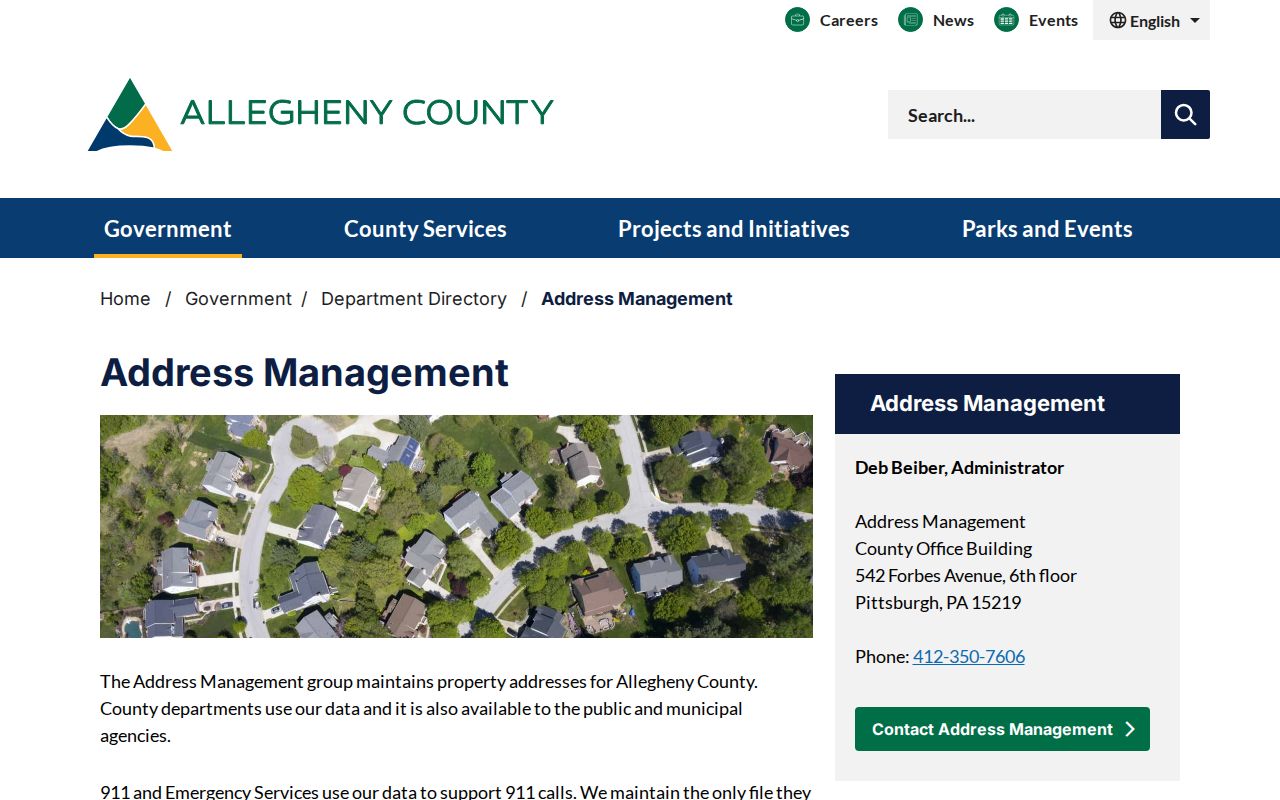
County datasets such as address points, centerlines, street dictionary, street alias, and segment alias information can help resolve a spelling or name change before a local request. They do not substitute for the municipality that issued the underlying local record.
Note: A postal Pittsburgh label does not settle whether the City of Pittsburgh or another Allegheny County municipality holds a local record.
Allegheny County Voter Boundaries
Pennsylvania's Check My Registration service is an individual status and polling-place route. It is not a public browse-along-the-block tool. The formal statewide voter-list request process has separate list types, requester fields, and a written certification. A Street List can contain name, residential and mailing address, party, and active or inactive status, while a Walking List omits mailing address. The form also makes clear that the information is subject to election-law limits.
The request form requires a signed affirmation restricting use to election, political, or law-enforcement purposes. It is not a way around the self-status service or a reason to republish block information. Voting history may show whether a vote was recorded in an election, never the ballot choices. Protected voters and sensitive identifiers must remain protected.
Pittsburgh RCO Civic Contacts
Pittsburgh Registered Community Organizations are a civic-development review layer, not a directory of residents. Registered groups have defined review areas, renew registration every two years, and may publish agendas, minutes, decisions, meetings, or other public materials. The useful result is a public civic contact channel for a Pittsburgh address, not a list of people who live nearby or support the group.
| Public civic route | What it provides | Appropriate access |
|---|---|---|
| Pittsburgh RCO locator | Organization and review-area information for a City of Pittsburgh location | Use the live City locator before relying on a current status. |
| RCO public agendas or minutes | Development-review and meeting context where the group or City publishes it | Use only publicly posted material and retain its date. |
| Situs municipality | Its own public meeting, clerk, planning, or building-code contact route | Start with the municipality shown by the county parcel or GIS record. |
The City of Pittsburgh RCO program describes the public civic framework.
[TIMELY] The official RCO list dated August 4, 2026 needs live validation because individual expiration dates can differ. Do not reproduce personal contact details from a PDF or treat a historic listing as a permanent organization status.
Allegheny County Civic Gaps
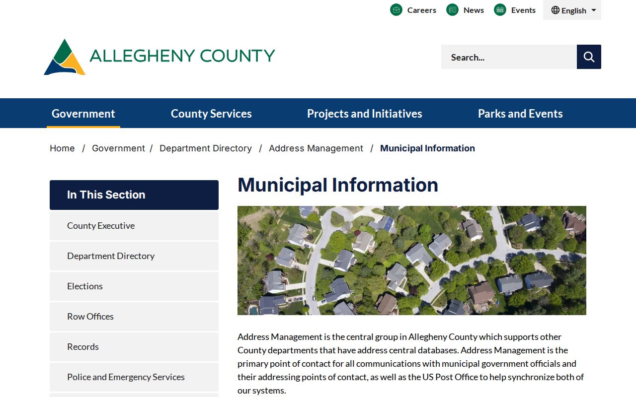
Outside Pittsburgh, no authoritative countywide neighborhood-association roster was located. Allegheny County includes many municipalities, each with its own civic structures and public-contact practices. The reliable route is the governing municipality identified by the parcel record, then an association's own publicly posted event or contact information if it chooses to publish one.
The county's Municipal Information explains the local-government context behind that routing decision.
Voluntary civic participation is not a public roster. Congregation, club, block-watch, and association membership remain private unless an organization expressly publishes a public contact or event.
Allegheny County Block History
For a historical block, match a directory entry to the edition year and pair it with a Hopkins map plate. The Pittsburgh Hopkins collection spans 1872 to 1940 and can show lot or block numbers, streets, wards, owners, buildings, and landmarks. A directory or map label is a dated clue, not a statement about a later resident.
Historic Allegheny City was separate until Pittsburgh annexed it in 1907. A North Side block may therefore need searches under both Allegheny City and Pittsburgh, along with its ward and street name for the period. In redevelopment research, the City Archives' Lower Hill property inventories cover a defined 1953 to 1961 project and may contain parcel, ownership, condition, or occupancy material, but about 150 parcels have no extant records. The collection was processed in September 2024 and is arranged by parcel. Its scope is specific to that redevelopment area, not a countywide block file. An archival gap is not proof that a block was empty.
Allegheny County Neighbor Privacy
Public property and map data are intentionally incomplete as a way to identify people around a block. The Pennsylvania Address Confidentiality Program protects actual addresses for eligible participants, and no search method should be used to work around that protection. Utility customers, delivery recipients, and complete household information are not parcel-map fields. Court sealing, protected voter information, and ordinary personal privacy can also limit what appears in a public record.
Lawful use. Use public records to understand a property, local history, or a public civic process. Do not use information about people around a block to watch, stalk, harass, threaten, intimidate, or harm anyone.